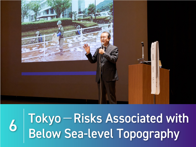

5. Hazard Maps: Tools for Assessing Local Risk
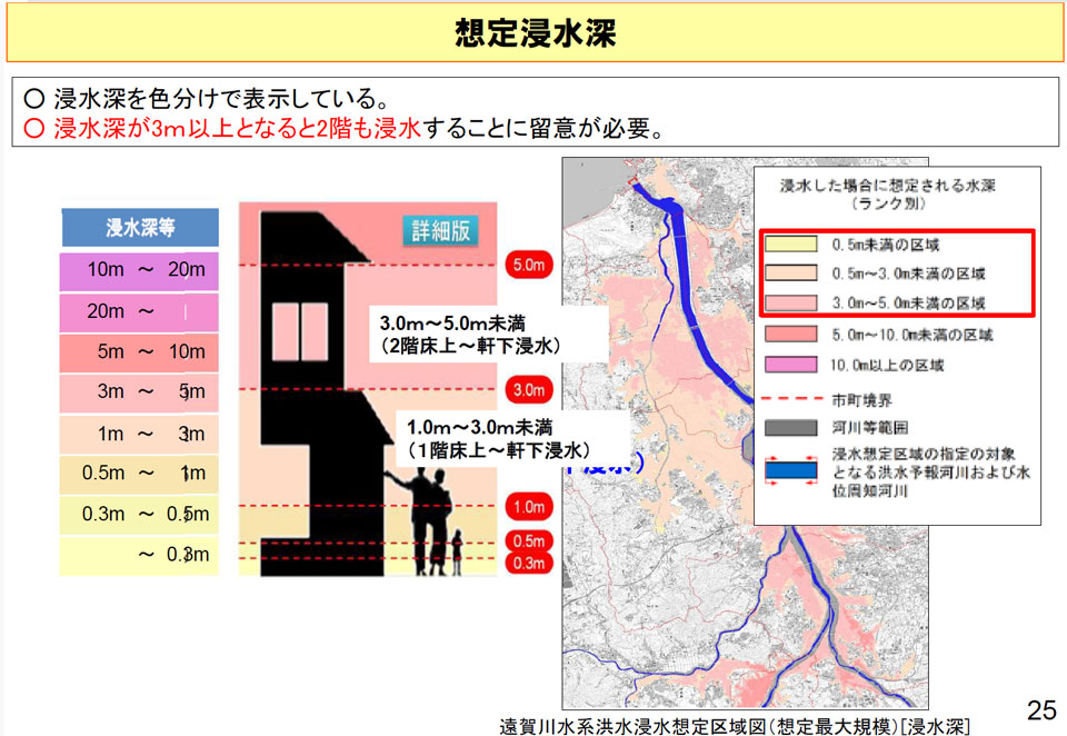
Hideyuki Ashiya from Japan’s Ministry of Land, Infrastructure, Transport and Tourism (MLIT) advocated for the usefulness of predictive tools and hazard maps, stating that “floods are unavoidable, but flooding does not necessarily mean damage will occur.” Hazard maps illustrate areas where disaster risks such as floods, landslides, and tsunamis are predicted, and identify evacuation sites.
Areas which hazard maps identified as likely “inundation zones” overlapped almost perfectly with areas deluged in the 2018 West Japan Floods, which resulted in over 200 victims. This example reinforces the importance of using hazard maps to help plan actions in advance of disasters.
Mr. Ashiya also touched on climate change, highlighting that Japan currently sees about 1.4 times the excessive rainfall events of the 1970s. He added that if global temperatures rise an average of 2 degrees, Japan will see 1.1 times more rainfall. Mr. Ashiya explained that future risk will escalate to critical level, with river volume swelling 1.2-fold and heavy rains doubling in frequency.
Mr. Ashiya called for integrating hard and soft measures going forward. “If we seek full responsiveness to climate change, levees alone will likely not suffice. In addition to maintaining dams and levees, we must implement river basin flood control throughout each region, such as by building storage facilities in towns and sustaining forests upstream of rivers.”